| Region | Awareness type | Hours | 00 | 03 | 06 | 09 | 12 | 15 | 18 | 21 | 24 | More | |||||||||||||||||
|---|---|---|---|---|---|---|---|---|---|---|---|---|---|---|---|---|---|---|---|---|---|---|---|---|---|---|---|---|---|
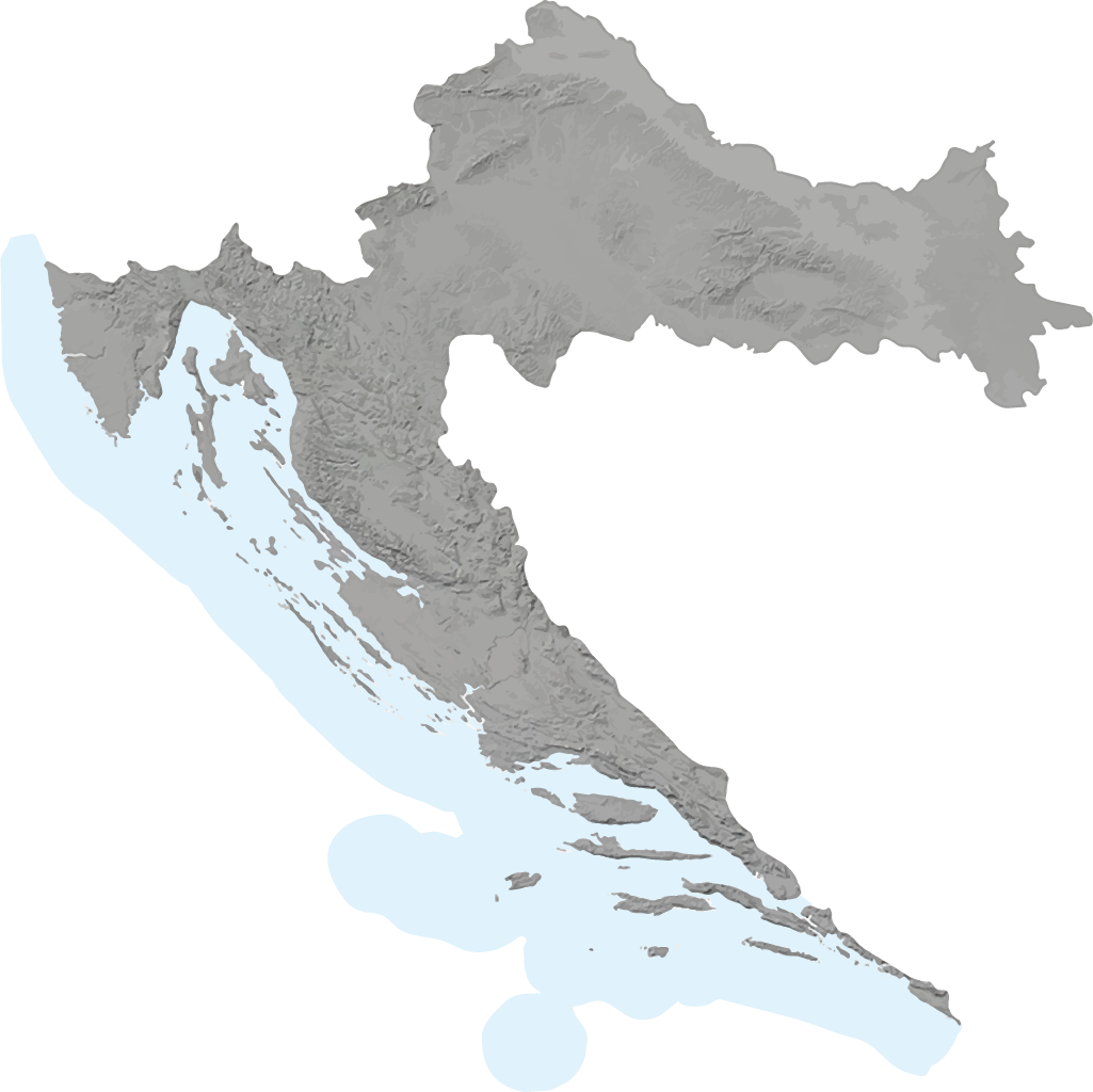
| Osijek region | |||||||||||||||||||||||||||||
|
Valid from 16.07.2025 12:00:00 until 16.07.2025 23:59:59 | Awareness Level: Yellow Gale force gusts of north (N) wind. Maximum gust speed 50-65 km/h STAY ALERT for debris carried by strong winds. Debris and tree branches carried by the wind may cause localised interruptions in outdoor activities. | |||||||||||||||||||||||||||||
|
Valid from 16.07.2025 17:00:00 until 16.07.2025 23:59:59 | Awareness Level: Yellow Thundershowers, locally possible severe. Lightning risk > 70 % STAY ALERT for possible heavy thunderstorms. Be especially careful in high-exposure areas such as mountains, forests, meadows and open grounds. Interruptions in outdoor activities are possible. | |||||||||||||||||||||||||||||
| Rijeka region | |||||||||||||||||||||||||||||
|
Valid from 16.07.2025 18:00:00 until 16.07.2025 23:59:59 | Awareness Level: Yellow Locally gale force gusts of bura (NE wind). Maximum gust speed > 65 km/h STAY ALERT for debris carried by strong winds. Debris and tree branches carried by the wind may cause localised interruptions in outdoor activities. | |||||||||||||||||||||||||||||
| Zagreb region | |||||||||||||||||||||||||||||
| Karlovac region | |||||||||||||||||||||||||||||
| Gospić region | |||||||||||||||||||||||||||||
| Knin region | |||||||||||||||||||||||||||||
| Split region | |||||||||||||||||||||||||||||
| Dubrovnik region | |||||||||||||||||||||||||||||
| Obalna upozorenja za klimatološka područja hrvatskog dijela Jadrana | |||||||||||||||||||||||||||||
| West Istrian coast | |||||||||||||||||||||||||||||
|
Valid from 16.07.2025 03:00:00 until 16.07.2025 23:59:59 | Awareness Level: Yellow Locally fresh NE wind. Maximum wind gusts 35-40 knots (65-75 km/h) IMPACT: Although rather usual in this region, locally or potentially dangerous wind speeds are expected to produce dangerous wave conditions to small crafts. Inexperienced mariners, especially those operating smaller vessels, should avoid navigating in these conditions. Mariners should pay close attention to the marine forecast and consider wind and sea conditions in planning. It is possible that some ferry lines will not operate so follow traffic information if travelling. | |||||||||||||||||||||||||||||
| Kvarner i Kvarneric | |||||||||||||||||||||||||||||
|
Valid from 16.07.2025 03:00:00 until 16.07.2025 23:59:59 | Awareness Level: Yellow Locally fresh NE wind. Maximum wind gusts 35-40 knots (65-75 km/h) IMPACT: Although rather usual in this region, locally or potentially dangerous wind speeds are expected to produce dangerous wave conditions to small crafts. Inexperienced mariners, especially those operating smaller vessels, should avoid navigating in these conditions. Mariners should pay close attention to the marine forecast and consider wind and sea conditions in planning. It is possible that some ferry lines will not operate so follow traffic information if travelling. | |||||||||||||||||||||||||||||
| Velebit channel | |||||||||||||||||||||||||||||
|
Valid from 16.07.2025 03:00:00 until 16.07.2025 23:59:59 | Awareness Level: Yellow Locally fresh and strong, in the morning near gale NE wind. Maximum wind gusts 35-50 knots (65-95 km/h) IMPACT: Although rather usual in this region, locally or potentially dangerous wind speeds are expected to produce dangerous wave conditions to small crafts. Inexperienced mariners, especially those operating smaller vessels, should avoid navigating in these conditions. Mariners should pay close attention to the marine forecast and consider wind and sea conditions in planning. It is possible that some ferry lines will not operate so follow traffic information if travelling. | |||||||||||||||||||||||||||||
| North Dalmatia region | |||||||||||||||||||||||||||||
| Middle Dalmatia region | |||||||||||||||||||||||||||||
|
Valid from 16.07.2025 00:00:00 until 16.07.2025 05:00:00 | Awareness Level: Yellow In the southern part of the area fresh NE breeze possible. Maximum wind gusts 35-40 knots (65-75 km/h) IMPACT: Although rather usual in this region, locally or potentially dangerous wind speeds are expected to produce dangerous wave conditions to small crafts. Inexperienced mariners, especially those operating smaller vessels, should avoid navigating in these conditions. Mariners should pay close attention to the marine forecast and consider wind and sea conditions in planning. It is possible that some ferry lines will not operate so follow traffic information if travelling. | |||||||||||||||||||||||||||||
| South Dalmatia region | |||||||||||||||||||||||||||||
|
Valid from 16.07.2025 00:00:00 until 16.07.2025 07:00:00 | Awareness Level: Yellow Fresh NE breeze possible. Maximum wind gusts 35-40 knots (65-75 km/h) IMPACT: Although rather usual in this region, locally or potentially dangerous wind speeds are expected to produce dangerous wave conditions to small crafts. Inexperienced mariners, especially those operating smaller vessels, should avoid navigating in these conditions. Mariners should pay close attention to the marine forecast and consider wind and sea conditions in planning. It is possible that some ferry lines will not operate so follow traffic information if travelling. | |||||||||||||||||||||||||||||

Gale force gusts of north (N) wind. Maximum gust speed 50-65 km/h
Thundershowers, locally possible severe. Lightning risk > 70 %
Locally gale force gusts of bura (NE wind). Maximum gust speed > 65 km/h
Locally fresh NE wind. Maximum wind gusts 35-40 knots (65-75 km/h)
Locally fresh NE wind. Maximum wind gusts 35-40 knots (65-75 km/h)
Locally fresh and strong, in the morning near gale NE wind. Maximum wind gusts 35-50 knots (65-95 km/h)
In the southern part of the area fresh NE breeze possible. Maximum wind gusts 35-40 knots (65-75 km/h)
Fresh NE breeze possible. Maximum wind gusts 35-40 knots (65-75 km/h)