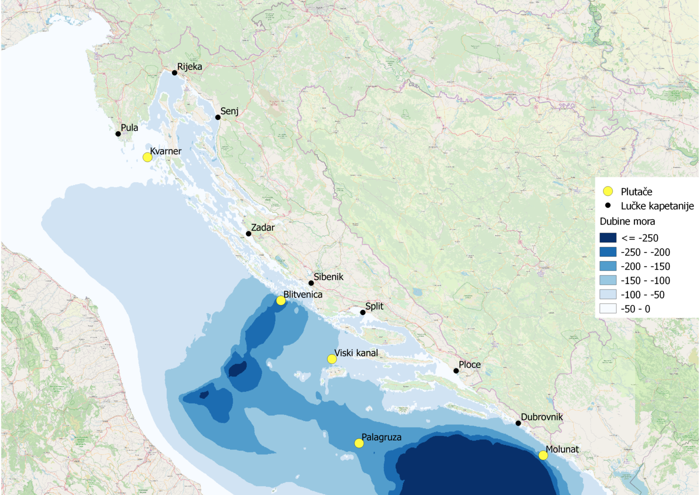
Due to various challenges, some values may deviate from the actual ones or may be missing. During regular and extraordinary maintenance, short-term interruptions in measurements may occur.
The most common failures of automatic measurement systems and data exchange from meteorological and oceanographic buoys can occur due to:
- problems with signal transmission from measurement sensors to the central integration system on the buoy due to the complexity of meteorological and oceanographic measurement methods
- problems with telecommunication systems, i.e. weak data transmission between the buoy and GSM or satellite receivers
- insufficient battery capacity on the buoy, which can occur because of a longer cloudy period and low solar power collections
- extreme conditions at sea, most often during thunderstorms or atmospheric discharges (lightning strikes) near the measurement system or directly into one of the sensors or transmitters, and during the episodes of severe gales or storms winds
The table provides explanations of the graphical representation of measured data of meteorological and oceanographic parameters. For all parameters, the height or depth at which the measurement is performed is indicated.
| Value | methods |
|---|---|
| mean wind speed | mean value of wind speed over a 10-minute interval at 3 m height |
| maximum wind speed | maximum wind gust reached in a 10-minute interval at 3 m height |
| wind direction | prevailing 10-minute wind direction at 3 m height |
| significant wave height | mean value of 1/3 of the highest waves in a 30-minute interval at the sea |
| surface wave direction | wave direction is the mean value of the directions of 1/3 of the highest waves in a 30-minute interval at the sea |
| surface wave period | wave period is the mean value of the period of 1/3 of the highest waves in a 30-minute interval at the sea |
| surface maximum wave height | maximum height of a measured wave in a 30-minute interval at the sea surface |
| air temperature | mean value of 10-minute interval at 3 m height |
| relative air humidity | mean value of 10-minute interval at 3 m height |
| air pressure | mean value of 10-minute interval at 3 m altitude |
| air horizontal visibility | mean value of 10-minute interval at 3 m height |
| global radiation | total amount of radiation energy received in 10-minute interval per unit area at 3 m height |
| sea temperature | mean value of 10-minute interval at 1.2 m depth |
| sea salinity | mean value of 10-minute interval at 1.2 m depth |
| sea dissolved oxygen | mean value of 10-minute interval at 1.2 m depth |
| sea turbidity | mean value of 10-minute interval at 2 m depth; optical measure of sea turbidity in the seawater column (caused by inorganic and/or organic particles or thermodynamic turbulent sea motions) |
| sea chlorophyll type A | mean value of 10-minute interval at 2 m depth; amount of phytoplankton matter in the seawater column |