| Green - No warnings |
| Yellow - The weather is potentially dangerous |
| Orange - The weather is dangerous |
| Red - The weather is very dangerous |
| Marine forecast warning |
![]() |
| Region | Awareness type | Hours | 00 | 03 | 06 | 09 | 12 | 15 | 18 | 21 | 24 | More | |||||||||||||||||
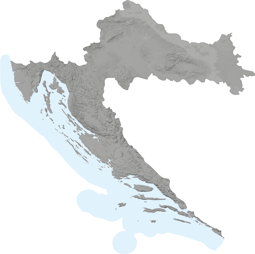
|---|---|---|---|---|---|---|---|---|---|---|---|---|---|---|---|---|---|---|---|---|---|---|---|---|---|---|---|---|---|
| Osijek region | |||||||||||||||||||||||||||||
| Zagreb region | |||||||||||||||||||||||||||||
| Karlovac region | |||||||||||||||||||||||||||||
| Gospić region | |||||||||||||||||||||||||||||
|
Valid from 25.11.2025 00:00:00 until 25.11.2025 10:00:00 | Awareness Level: Yellow Strong SW and S wind with gale force gusts. Average wind speed > 40 km/h; Maximum gust speed > 65 km/h STAY ALERT for debris carried by strong winds. Debris and tree branches carried by the wind may cause localised interruptions in outdoor activities. | |||||||||||||||||||||||||||||
|
Valid from 25.11.2025 00:00:00 until 25.11.2025 23:59:59 | Awareness Level: Yellow Locally heavy rain. Possible urban and flash floods. Rainfall > 50 mm STAY ALERT and be aware of the possibility of localised flooding of a minor number of buildings and local interruption in outdoor activities. Difficult driving conditions are expected due to reduced visibility and wet roads. | |||||||||||||||||||||||||||||
| Knin region | |||||||||||||||||||||||||||||
|
Valid from 25.11.2025 06:00:00 until 25.11.2025 21:00:00 | Awareness Level: Yellow Strong and gale force SE and S wind, turning to NW in the afternoon. Average wind speed > 40 km/h; Maximum gust speed > 65 km/h STAY ALERT for debris carried by strong winds. Debris and tree branches carried by the wind may cause localised interruptions in outdoor activities. | |||||||||||||||||||||||||||||
|
Valid from 25.11.2025 00:00:00 until 25.11.2025 23:59:59 | Awareness Level: Orange Locally heavy rain. Rainfall 70-110 mm BE PREPARED to protect yourself and your property. Flooding of properties and of the traffic network is possible. Power outages, communication network failures and water supply interruptions are also possible. Difficult driving conditions caused by reduced visibility and wet and slippery roads. | |||||||||||||||||||||||||||||
|
Valid from 25.11.2025 10:00:00 until 25.11.2025 21:00:00 | Awareness Level: Orange Locally heavy rain showers, possible lightning. Lightning risk > 60 % BE PREPARED for heavy thunderstorms that may cause heavy damage, and protect yourself from lightning. Property damage and tree damage are possible. Local flash floods, storm gusts are hail are possible. Interruptions in outdoor activities and in traffic are possible. | |||||||||||||||||||||||||||||
| Rijeka region | |||||||||||||||||||||||||||||
|
Valid from 25.11.2025 00:00:00 until 25.11.2025 15:00:00 | Awareness Level: Yellow Strong to gale force jugo (SE) and S wind, turning to NW. Average wind speed > 40 km/h; Maximum gust speed > 65 km/h STAY ALERT for debris carried by strong winds. Debris and tree branches carried by the wind may cause localised interruptions in outdoor activities. | |||||||||||||||||||||||||||||
|
Valid from 25.11.2025 00:00:00 until 25.11.2025 23:59:59 | Awareness Level: Yellow Locally heavy rain. Possible urban and flash floods. Rainfall > 50 mm STAY ALERT and be aware of the possibility of localised flooding of a minor number of buildings and local interruption in outdoor activities. Difficult driving conditions are expected due to reduced visibility and wet roads. | |||||||||||||||||||||||||||||
|
Valid from 25.11.2025 08:00:00 until 25.11.2025 18:00:00 | Awareness Level: Yellow Locally heavy rain showers, possible lightning and waterspout. Lightning risk > 50 % STAY ALERT for possible heavy thunderstorms. Be especially careful in high-exposure areas such as mountains, forests, meadows and open grounds. Interruptions in outdoor activities are possible. | |||||||||||||||||||||||||||||
| Split region | |||||||||||||||||||||||||||||
|
Valid from 25.11.2025 00:00:00 until 25.11.2025 21:00:00 | Awareness Level: Yellow Strong and gale force jugo (SE) and S wind, turning to NW in the afternoon. Average wind speed > 40 km/h; Maximum gust speed > 65 km/h STAY ALERT for debris carried by strong winds. Debris and tree branches carried by the wind may cause localised interruptions in outdoor activities. | |||||||||||||||||||||||||||||
|
Valid from 25.11.2025 00:00:00 until 25.11.2025 23:59:59 | Awareness Level: Orange Locally heavy rain. Rainfall 60-110 mm BE PREPARED to protect yourself and your property. Flooding of properties and of the traffic network is possible. Power outages, communication network failures and water supply interruptions are also possible. Difficult driving conditions caused by reduced visibility and wet and slippery roads. | |||||||||||||||||||||||||||||
|
Valid from 25.11.2025 10:00:00 until 25.11.2025 21:00:00 | Awareness Level: Orange Locally heavy rain showers, possible lightning and waterspout. Lightning risk > 60 % BE PREPARED for heavy thunderstorms that may cause heavy damage, and protect yourself from lightning. Property damage and tree damage are possible. Local flash floods, storm gusts are hail are possible. Interruptions in outdoor activities and in traffic are possible. | |||||||||||||||||||||||||||||
| Dubrovnik region | |||||||||||||||||||||||||||||
|
Valid from 25.11.2025 00:00:00 until 25.11.2025 23:59:59 | Awareness Level: Yellow Strong and gale force jugo (SE) and S wind, turning NW in the evening. Average wind speed > 40 km/h; Maximum gust speed > 65 km/h STAY ALERT for debris carried by strong winds. Debris and tree branches carried by the wind may cause localised interruptions in outdoor activities. | |||||||||||||||||||||||||||||
|
Valid from 25.11.2025 00:00:00 until 25.11.2025 23:59:59 | Awareness Level: Yellow Locally heavy rain. Rainfall > 40 mm STAY ALERT and be aware of the possibility of localised flooding of a minor number of buildings and local interruption in outdoor activities. Difficult driving conditions are expected due to reduced visibility and wet roads. | |||||||||||||||||||||||||||||
|
Valid from 25.11.2025 21:00:00 until 25.11.2025 23:59:59 | Awareness Level: Orange Locally heavy rain showers, possible lightning and waterspout. Lightning risk > 60 % BE PREPARED for heavy thunderstorms that may cause heavy damage, and protect yourself from lightning. Property damage and tree damage are possible. Local flash floods, storm gusts are hail are possible. Interruptions in outdoor activities and in traffic are possible. | |||||||||||||||||||||||||||||
| Coastal wind warnings for Croatian Adriatic climate regions | |||||||||||||||||||||||||||||
| West Istrian coast | |||||||||||||||||||||||||||||
|
Valid from 25.11.2025 00:00:00 until 25.11.2025 08:00:00 | Awareness Level: Yellow Locally strong SE and S wind. Maximum wind gusts 35-40 knot (65-75 km/h) IMPACT: Although rather usual in this region, locally or potentially dangerous wind speeds are expected to produce dangerous wave conditions to small crafts. Inexperienced mariners, especially those operating smaller vessels, should avoid navigating in these conditions. Mariners should pay close attention to the marine forecast and consider wind and sea conditions in planning. It is possible that some ferry lines will not operate so follow traffic information if travelling. | |||||||||||||||||||||||||||||
| Kvarner i Kvarneric | |||||||||||||||||||||||||||||
|
Valid from 25.11.2025 00:00:00 until 25.11.2025 10:00:00 | Awareness Level: Yellow In the morning locally strong and near gale SE wind. Maximum wind gusts 35-45 knots (65-85 km/h) IMPACT: Although rather usual in this region, locally or potentially dangerous wind speeds are expected to produce dangerous wave conditions to small crafts. Inexperienced mariners, especially those operating smaller vessels, should avoid navigating in these conditions. Mariners should pay close attention to the marine forecast and consider wind and sea conditions in planning. It is possible that some ferry lines will not operate so follow traffic information if travelling. | |||||||||||||||||||||||||||||
| Velebit channel | |||||||||||||||||||||||||||||
|
Valid from 25.11.2025 00:00:00 until 25.11.2025 10:00:00 | Awareness Level: Yellow Locally strong and near gale SE wind. Maximum wind gusts 35-45 knots (65-85 km/h) IMPACT: Although rather usual in this region, locally or potentially dangerous wind speeds are expected to produce dangerous wave conditions to small crafts. Inexperienced mariners, especially those operating smaller vessels, should avoid navigating in these conditions. Mariners should pay close attention to the marine forecast and consider wind and sea conditions in planning. It is possible that some ferry lines will not operate so follow traffic information if travelling. | |||||||||||||||||||||||||||||
| North Dalmatia region | |||||||||||||||||||||||||||||
|
Valid from 25.11.2025 00:00:00 until 25.11.2025 14:00:00 | Awareness Level: Orange Strong and near gale, locally gale SE and S, then SW wind, at noon strong NW wind. Maximum wind gusts 45-55 knot (85-100 km/h) IMPACT: Be prepared for gale and strong gale wind speeds combined with locally high waves that are imminent or occurring. Operating a vessel in these conditions requires experience and properly equipped vessels. It is highly recommended that mariners without the proper experience seek safe harbor prior to onset of potentially dangerous wind and wave conditions. It is likely that many ferries will not operate so follow traffic information if travelling. | |||||||||||||||||||||||||||||
| Middle Dalmatia region | |||||||||||||||||||||||||||||
|
Valid from 25.11.2025 00:00:00 until 25.11.2025 20:00:00 | Awareness Level: Orange Strong and near gale, at noon locally gale SE and S, then SW wind, in the evening strong NW wind. Maximum wind gusts 35-55 knots (65-100 km/h) IMPACT: Be prepared for gale and strong gale wind speeds combined with locally high waves that are imminent or occurring. Operating a vessel in these conditions requires experience and properly equipped vessels. It is highly recommended that mariners without the proper experience seek safe harbor prior to onset of potentially dangerous wind and wave conditions. It is likely that many ferries will not operate so follow traffic information if travelling. | |||||||||||||||||||||||||||||
| South Dalmatia region | |||||||||||||||||||||||||||||
|
Valid from 25.11.2025 00:00:00 until 25.11.2025 23:59:59 | Awareness Level: Orange Strong and near gale, at noon locally gale S and SE wind. Near the end of the day locally strong SW wind. Maximum wind gusts 45-55 knot (85-100 km/h) IMPACT: Be prepared for gale and strong gale wind speeds combined with locally high waves that are imminent or occurring. Operating a vessel in these conditions requires experience and properly equipped vessels. It is highly recommended that mariners without the proper experience seek safe harbor prior to onset of potentially dangerous wind and wave conditions. It is likely that many ferries will not operate so follow traffic information if travelling. | |||||||||||||||||||||||||||||
Locally heavy rain. Possible urban and flash floods. Rainfall > 50 mm
Strong and gale force SE and S wind, turning to NW in the afternoon. Average wind speed > 40 km/h; Maximum gust speed > 65 km/h
Locally heavy rain. Rainfall 70-110 mm
Locally heavy rain showers, possible lightning. Lightning risk > 60 %
Locally heavy rain. Possible urban and flash floods. Rainfall > 50 mm
Strong and gale force jugo (SE) and S wind, turning to NW in the afternoon. Average wind speed > 40 km/h; Maximum gust speed > 65 km/h
Locally heavy rain. Rainfall 60-110 mm
Locally heavy rain showers, possible lightning and waterspout. Lightning risk > 60 %
Strong and gale force jugo (SE) and S wind, turning NW in the evening. Average wind speed > 40 km/h; Maximum gust speed > 65 km/h
Locally heavy rain. Rainfall > 40 mm
Locally heavy rain showers, possible lightning and waterspout. Lightning risk > 60 %
Locally strong SE and S wind. Maximum wind gusts 35-40 knot (65-75 km/h)
In the morning locally strong and near gale SE wind. Maximum wind gusts 35-45 knots (65-85 km/h)
Locally strong and near gale SE wind. Maximum wind gusts 35-45 knots (65-85 km/h)
Strong and near gale, locally gale SE and S, then SW wind, at noon strong NW wind. Maximum wind gusts 45-55 knot (85-100 km/h)
Strong and near gale, at noon locally gale SE and S, then SW wind, in the evening strong NW wind. Maximum wind gusts 35-55 knots (65-100 km/h)
Strong and near gale, at noon locally gale S and SE wind. Near the end of the day locally strong SW wind. Maximum wind gusts 45-55 knot (85-100 km/h)